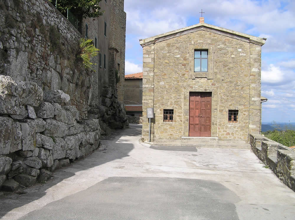
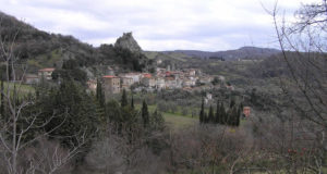
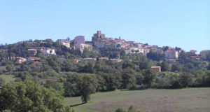
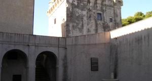
Borghi di Toscana Guida ai borghi e ai paesaggi della Toscana
![]() Français
Français ![]() Deutsch
Deutsch ![]() Español
Español ![]() Italiano
Italiano
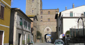
The Maremma Natural Park is located in the province of Grosseto, along 25 km of the Tyrrhenian coast between the mouth of the Ombrone and Talamone rivers, in the territories of the municipalities of Grosseto, Magliano in Toscana and Orbetello.
Maremma Park can be reached from the north along the SS 1 Aurelia, exit about 7 km south of Grosseto at the Rispescia-Alberese exit. Continue for a few kilometers on the S.P. di Alberese until you reach the locality of the same name. Those coming from the South can exit at Km 166 of the SS Aurelia at the junction for Alberese-Parco Naturale della Maremma. Continuing on, in a few minutes you reach the hamlet of Alberese where the Visitor Center is located.
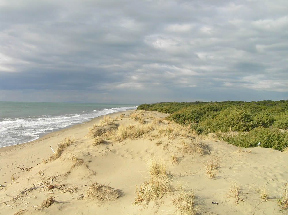
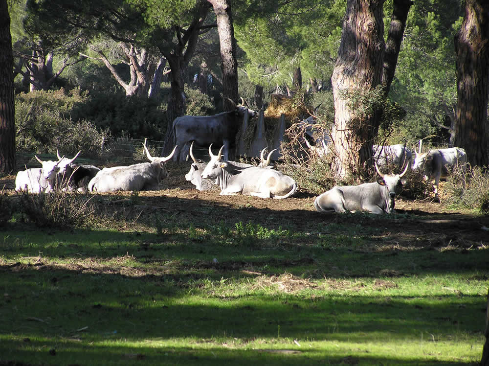
The park is characterized by pine forests, marshes, cultivated fields, pastures and hills that reach the coast, which is characterized by cliffs and long beaches, the environment is typical of the Mediterranean maquis.
The Maremma Natural Park is located in the province of Grosseto, in the southern part of Tuscany. The park includes a coastal strip of approximately 9800 hectares, which extends from Principina a Mare (in the north) to Talamone (in the south).
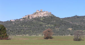
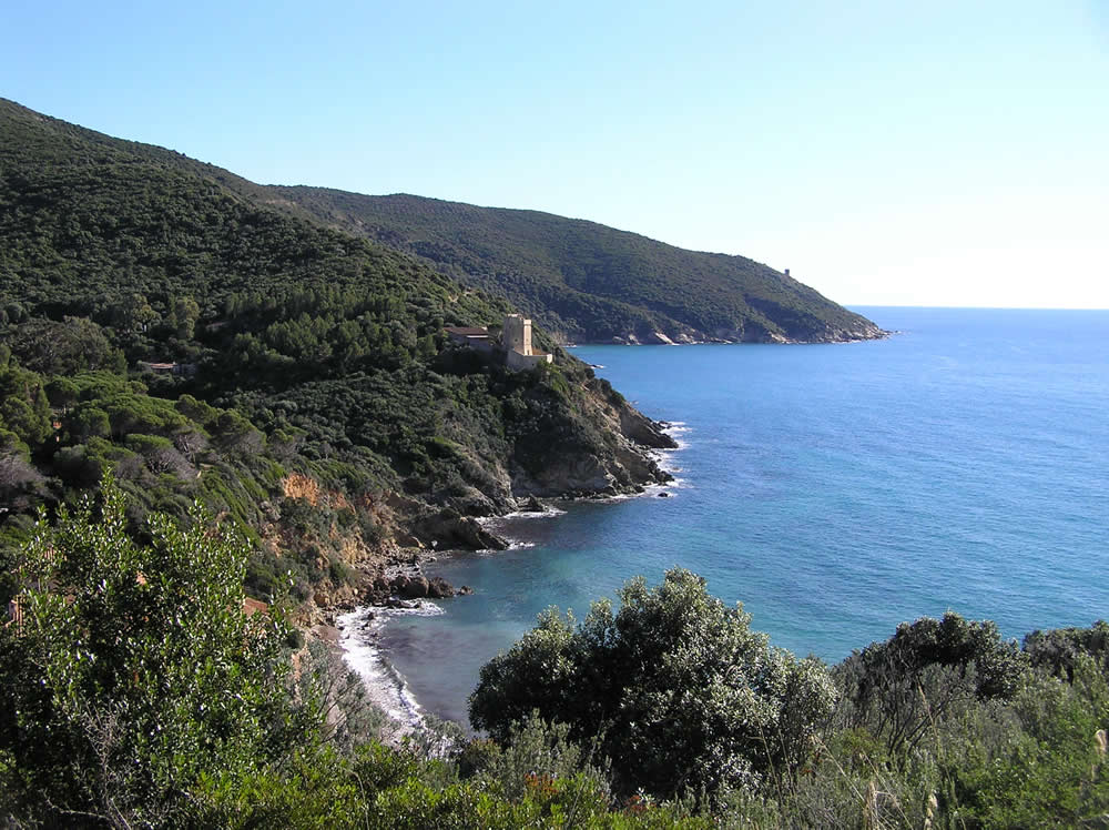
The central area of the park is characterized by the Monti dell’Uccellina, a chain of hills parallel to the coast covered with Mediterranean scrub, the mountains culminating with Poggio Lecci (417 masl).
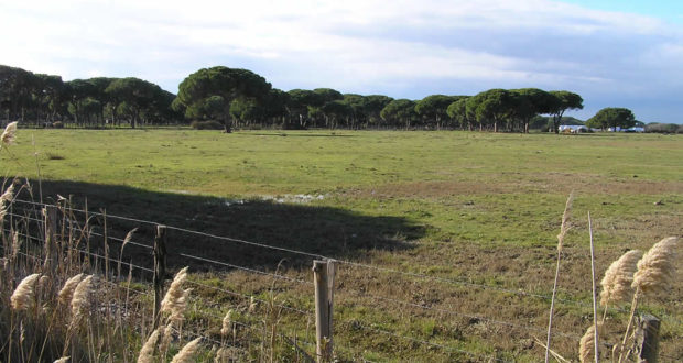
The northern part of the park is flat, characterized by sediments transported by the Ombrone river which flows into the sea in this area of the park.
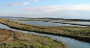
THE MOUTH OF THE OMBRONE RIVER
Around the mouth of the Ombrone there is the typical marshy area of the Trappola where various types of marsh birds are visible. This wetland area was probably formed by the progressive advancement of the coastline which also included some small lakes.
The pine forest of Marina d’Alberese is also of great interest and beauty. From a naturalistic point of view, the park area represents an interesting mosaic of ecosystems partly modelled, in past centuries, by man without degrading it.
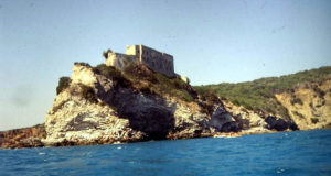
The coast that develops for about 20 km is a succession of sandy coasts from the mouth of the Ombrone to Cala di Forno, from here begin the cliffs that are formed by the Uccellina Mountains that reach the sea, these cliffs extend up to Talamone. Along the coast there are some ancient watchtowers such as those of Collelungo, Castel Marino, Cala di Forno, Cannelle di Talamone.
The climate is typical Mediterranean, with hot and dry summers, the rains are more abundant in autumn. The average temperature is around 6° in January and 24° in August. The average amount of annual rainfall is around 690 mm. the rainiest months are in November and December, the driest months are July and August, the summers are almost completely dry.
THE ITINERARIES OF THE MAREMMA NATURAL PARK
Innumerable walks can be taken inside the park, one of the favorites (especially on a cool and clear winter day) is the one along the beach starting from Marina d’Alberse up to Cala di Forno. This walk takes 2-3 hours (return) and allows stupendous views of the Uccellina Mountains, the towers of Castelmarino, Collelungo, Cala di Forno and, if the day is clear, of the islands of Montecristo and Giglio and the Argentario. Most of the itineraries start from Alberese, while four itineraries start from Talamone.
The itineraries can be traveled both individually and in groups, accompanied or not by a guide, depending on the time of year.
These are the itineraries that can be followed in the Maremma Natural Park:
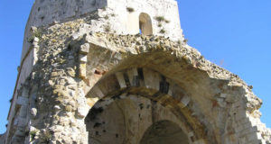
A1 San Rabano: A very beautiful but demanding itinerary is the one that allows you to visit the remains of the Abbey of San Rambano. Route: about 7.8 km. Duration: about 5 hours. Difficulty: challenging.
A2 Le Torri: An interesting itinerary that allows you to visit some of the watchtowers located inside the park. Path: about 7 km. Duration: about 3 hours. Difficulty: medium.
A3 The Caves: A rather long itinerary which focuses on visiting the caves along the way. Route: about 9.7 km. Duration: about 3 hours. Difficulty: simple.
A4 Cala di Forno: Long and demanding itinerary, but very beautiful which allows the visit of an uncontaminated stretch of coast. Route: about 12.8 km. Duration: about 6 hours. Difficulty: challenging.
Then there are other itineraries ranging from wildlife, birdwatching, cycling, nocturnal routes up to horse, canoe and carriage itineraries.
VISITS:
To visit the park, which is open all year round, it is necessary to purchase entrance tickets at the Visitor Centers.
Alberese Visitor Center: Via Bersagliere, 7/9 – Alberese (Gr) Tel. +39 0564 407098 – Fax. +39 0564 407278. Open every day, including holidays, at these times: from 1 October to 22 March from 8.30 to 13.30, from 23 March to 30 September from 8 to 17.
Talamone Visitor Center and Aquarium (Orbetello Lagoon Aquarium and Recovery Center for the Conservation of Sea Turtles (Tartanet)): Via Nizza, 12 – Talamone (Gr) Tel. +39 0564 887173 – Fax. +39 0564 887173. Open every day, including holidays, with these times: from 1 September to 30 June from 8 to 13, from 1 July to 31 August from 8 to 12 and from 17 to 20.